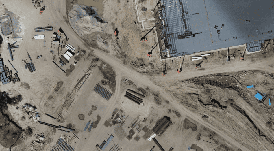
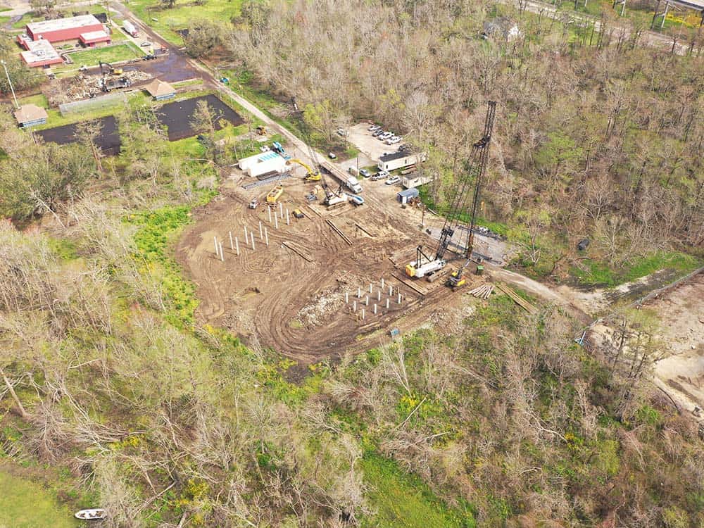
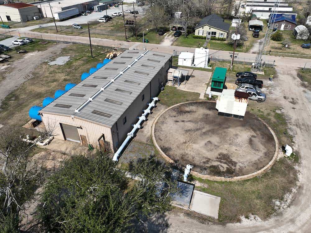
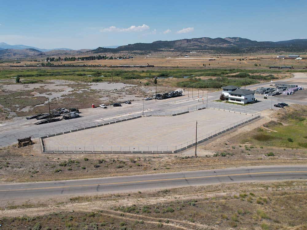
Down & Dirty with Data
Services Provided: Aerial Imaging, Progress Monitoring
Lemoine wanted to create a marketing package after the completion of each site that showed the building process from groundbreaking to finished infrastructure.
Traditionally the company relied on project managers to capture the progress images. However, progress managers can’t always be expected to gather the data due to busy and often changing schedules. Additionally, the photos were taken from ground level and therefore were not site-encompassing nor always high-quality.
Location: Chicago, IL
Phone: 205-354-4948
bmosley@auroradroneservice.com
Aurora Drone Services provides technology solutions and services for aerial data acquisition. Aurora Drone Services is not a state-licensed professional engineering or land surveying firm, and its employees are not state-licensed professional engineers or land surveyors. All content on this website including text, graphics, images, and other material is intended for general information only. This content is not applicable to any specific context or condition. It is not a substitute for state-licensed professional engineering or land surveying services, or an offer to provide such services.