Services Provided: Aerial Imaging
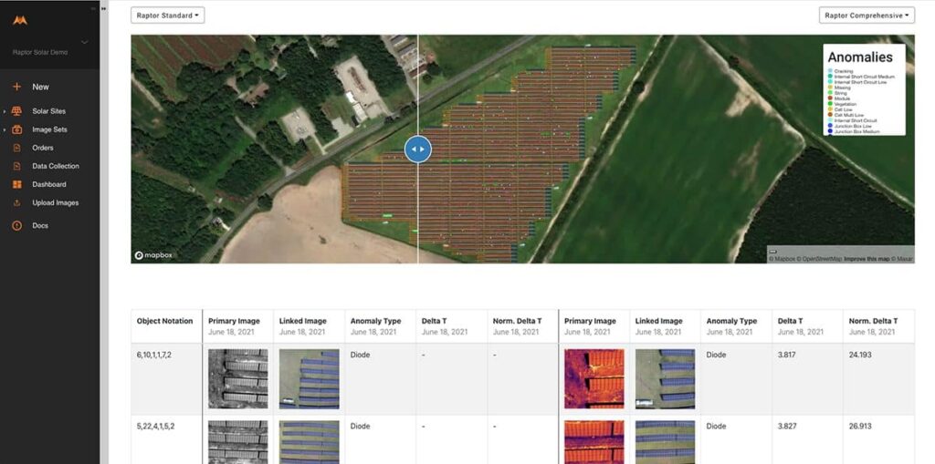
Raptor Maps offers advanced analytics, insights and productivity software for the entire solar lifecycle. The Raptor Solar software platform features a digital twin of your solar sites, aerial thermal inspections, data standardization and normalization, serial number mapping, warranty claim features, equipment records, mobile tools and more — all powered by their industry-leading data model. With intelligence for the entire solar industry — asset owners, managers, O&M, engineers, EPCs, financiers and OEMs — you can standardize and compare data across installations, increase performance, reduce risk and ultimately lift ROI.


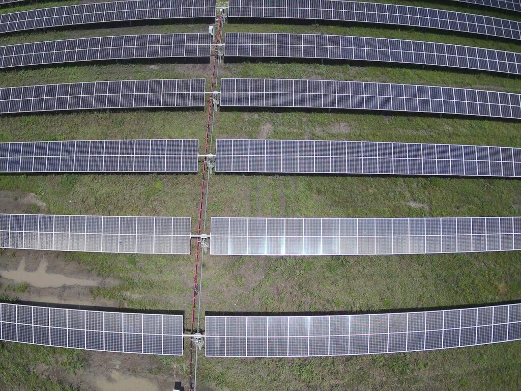
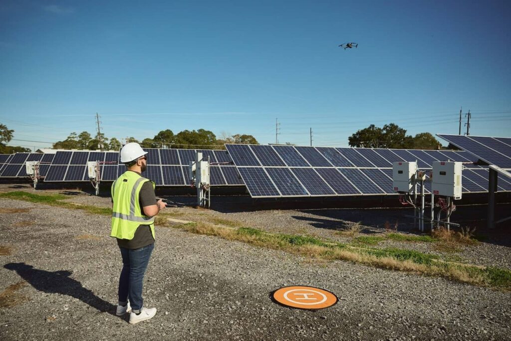
Aurora performs flights coast-to-coast for Raptor Maps delivering raw thermal data which is then analyzed and used to create extensive reports.
Raptor Maps has become one of our largest clients and partners. As we are able to gather the data they rely on, Raptor Maps increased their focus on what they do best – analytics. Their partnership with FlyGuys has eliminated the need for an internal UAV department, resulting in less overhead and headache.
Location: Chicago, IL
Phone: 205-354-4948
bmosley@auroradroneservice.com
Aurora Drone Services provides technology solutions and services for aerial data acquisition. Aurora Drone Services is not a state-licensed professional engineering or land surveying firm, and its employees are not state-licensed professional engineers or land surveyors. All content on this website including text, graphics, images, and other material is intended for general information only. This content is not applicable to any specific context or condition. It is not a substitute for state-licensed professional engineering or land surveying services, or an offer to provide such services.